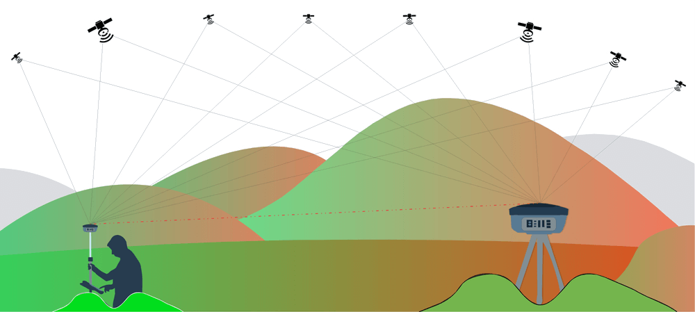
Industrial DGPS Survey & Triangulation
Our expert DGPS team efficiently provide surveying solutions for engineering’s most complex environments
Static and RTK Solutions
Working with a variety of industries including Construction, Land Surveying, GIS, Archaeology, and many others we offer complete geospatial positioning solutions from lower spec hand held GNSS to Industrial GNSS/DGPS MM accuracy network solutions.
-
1
Site Visit & Reconnaissance
Analyse and recce the area by our team.
-
2
DGPS Setup
Setting up the GPS/GNSS system in either RTK or static mode.
-
3
Data Observation
Collecting RTK,PPK or Static Data in Rinex standard format.
-
4
Post Processing
Final Data Triangulation in our software for outputs.
Simplified Process
Get real-time grid co-ordinates & elevation levels rapidly.
